Traffic Calming and Slow Streets
Traffic calming is never just about traffic. The label describes one change. The effects land across emergency response, accessibility, local business, parking, and how much say residents get.
Our knowledge hub collects resident observations, explains the policy questions in plain language, and connects each issue to practical actions.
Twenty-two years ago, residents in our part of East Vancouver told the City that traffic-calming measures were interfering with emergency vehicles reaching their homes.
The City wrote it down. The record is public. It is worth reading, because it tells you something about how this process works.
In July 2004, City staff produced an administrative report titled 1900 Pender Street Traffic Calming Plan – Follow-Up, authored by Fred Lin, P.Eng., of the Neighbourhood Transportation Branch. It carried reference number RTS 04333 and went to the Transportation and Traffic Committee on September 14, 2004.
The report was a follow-up on a traffic-calming plan that had been installed on a trial basis. Part of it surveyed residents about how the changes were working.
In Appendix C of that report — the section reproducing residents' survey comments — two accounts appear.
One resident described an ambulance having difficulty entering the 2000 block of Ferndale Street. According to the account, emergency personnel parked at Ferndale and Semlin and went the rest of the way on foot, carrying first-aid equipment.
The same resident described a Vancouver Fire rescue vehicle responding to a report of chest pains at 2164 East Pender. The account states the vehicle could not make the eastbound turn onto East Pender because of its size, and instead travelled north on Victoria, east on Hastings, south on Templeton, and back around to the 2100 block of East Pender.
These are resident reports, recorded in a City document. They are not findings that City engineering staff independently verified, and we are not going to present them as such. That distinction matters, and anyone who tells you otherwise is doing the argument a disservice.
But they were serious enough that the Committee discussed emergency services when the report came forward.
The Transportation and Traffic Committee considered the report, including questions about input from fire and ambulance services in the proposed designs.
The Committee then unanimously recommended that the traffic-calming measures be retained permanently. Council approved that recommendation.
Read that sequence again, because it is the pattern residents describe today.
Residents raised a specific, serious concern about emergency access. The concern was formally recorded in a City report. It was discussed at committee. And the measures were made permanent.
We are not saying the decision was wrong. We were not in the room, the report contains more than these two accounts, and reasonable people weighed it.
What we are saying is that being heard and being answered are different things. A concern can be documented, discussed, and then simply not addressed in the outcome. If that is what happened in 2004, residents in 2026 are entitled to ask what has changed about how these decisions are made.
Twelve years after that report, the City wrote in its own 2017 budget that fire response times were increasing due in part to traffic-calming initiatives. So the concern residents raised on Ferndale Street in 2004 turned out to describe a real mechanism.
Which brings us to a straightforward request:
For every traffic-calming project installed in our area since 2020, what emergency access assessment was done, what did emergency services say, and where is that written down?
If those assessments exist and are sound, publishing them settles the question and we will say so. If they do not exist, that is something residents should know.
When residents raise concerns about emergency vehicles reaching their streets, the response is often that the concern is anecdotal. Understandable, perhaps. Nobody keeps a stopwatch when they call 911.
So this post does not rely on residents' accounts. It relies on the City of Vancouver's own budget document.
In the City of Vancouver's 2017 Budget, published in December 2016, under the section covering Fire Suppression and Special Teams, the City states:
"VFRS is experiencing a slight increase in response times to fires due to increasing traffic congestion and traffic-calming initiatives. The percentage of fires confined to the area of origin has been decreasing over the last five years, partially due to increased response times."
That is the City describing its own fire service, in its own budget, naming traffic calming as one of the causes.
The same page carries Vancouver Fire and Rescue Services' response times at the 90th percentile — meaning nine out of ten calls were reached within this time:
| Year | Response time (90th percentile) |
|---|---|
| 2012 | 6:08 |
| 2013 | 6:14 |
| 2014 | 6:25 |
| 2015 | 6:28 |
| 2016 (forecast) | 6:35 |
Twenty-seven seconds slower across five years. On its own, a modest number.
The line underneath it is the one worth sitting with. Over the same period, the percentage of structure fires confined to the area where they started fell from 24 per cent to 19 per cent. The City connects the two directly: fires are spreading further, partially because crews are arriving later.
Further down the same page, under "Medical calls," the City writes that the medical response-time metric "is seeing an increase due to multiple factors, which include traffic congestion and traffic-calming initiatives."
So the City names traffic calming as a contributing factor for both fire and medical response.
We want to be precise, because precision is the point.
This does not prove that traffic calming is the main cause of slower emergency response. The City says "slight increase," and lists traffic congestion alongside traffic calming. Other factors — call volume, staffing, dispatch, ambulance availability — affect response times too, and the City has said so elsewhere.
This is not East Vancouver data. These are citywide figures. The City has not published response-time data broken down by neighbourhood, or before-and-after figures for individual traffic-calming projects.
What it does establish is that the mechanism is real and the City knows it. When a resident says that barriers and closures could delay an emergency vehicle, they are not speculating. They are describing something the City identified in a budget document a decade ago.
If the City recognised in 2016 that traffic-calming initiatives were contributing to slower fire and medical response, then a reasonable person would expect that every traffic-calming project since has been assessed for its effect on emergency access, with that assessment published.
We have not been able to find those assessments for the projects in our area.
That is what we are asking for. Not a halt to everything. An answer to a straightforward question: when these streets were closed and diverted, what did the City conclude about emergency vehicle access, and who signed off?
City of Vancouver, 2017 Budget, Part II: Department Service Plans, page 176. Published December 2016. Available on the City of Vancouver website.
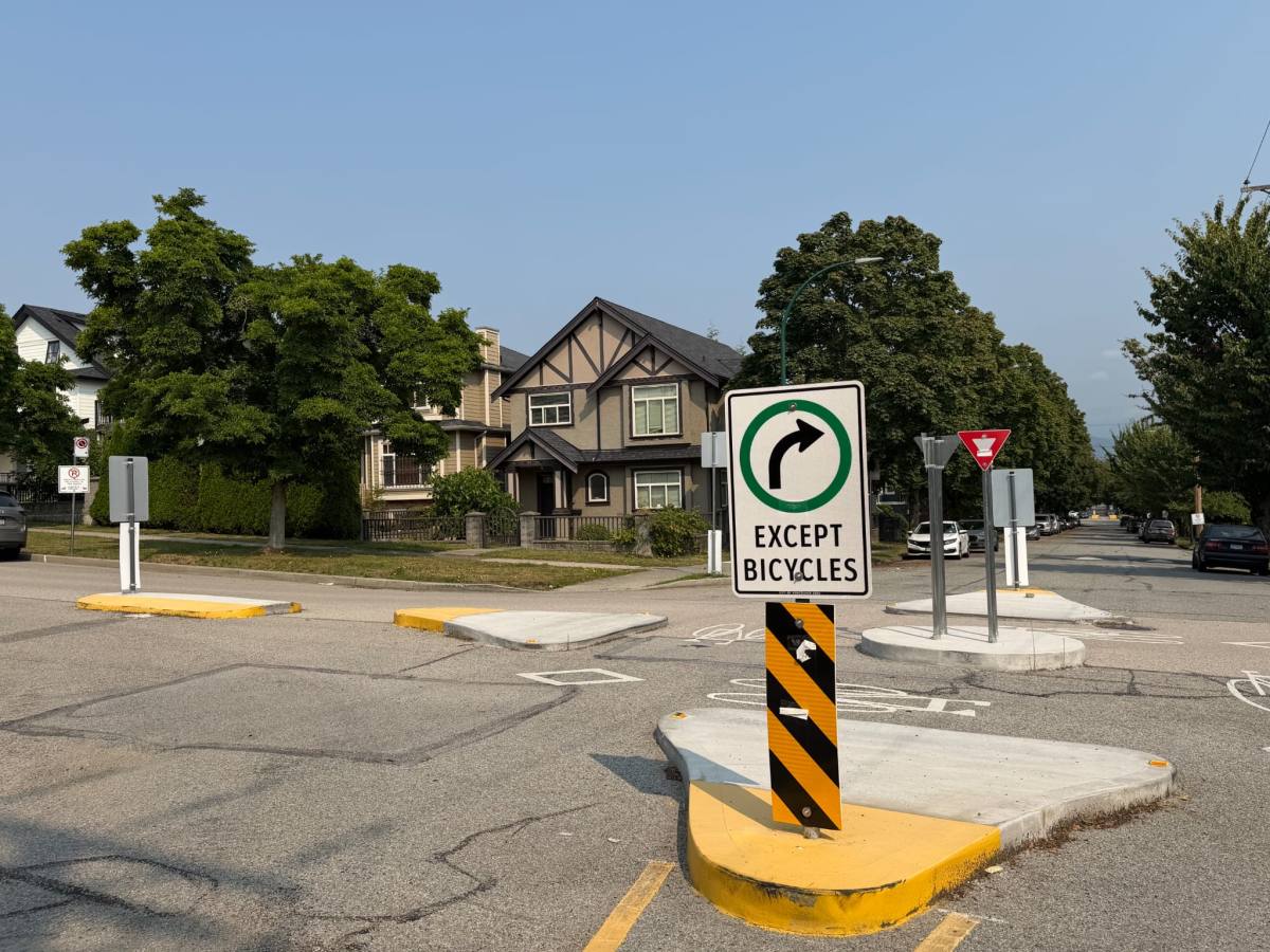
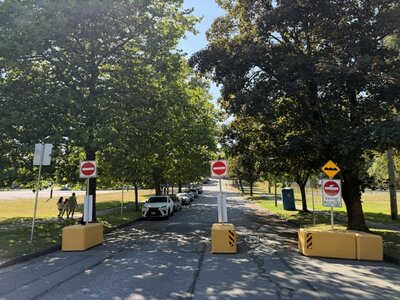
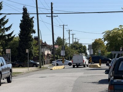
If you live between Nanaimo and Boundary, somewhere between 1st Avenue and Hastings, you have watched your neighbourhood change. Streets that used to run through now stop. Turns you made for years are no longer legal. Getting home takes a route you would not have chosen.
The City calls this traffic calming. It is worth understanding what that term covers, because the label describes an intention, not an outcome.
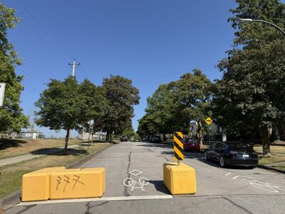
Traffic calming is a set of physical changes to streets, meant to slow vehicles down or discourage drivers from cutting through residential areas. The common tools:
Speed humps — raised sections of pavement that make drivers slow down to cross comfortably.
Traffic circles — small roundabouts at residential intersections, which slow turning movements and remove the need for stop signs.
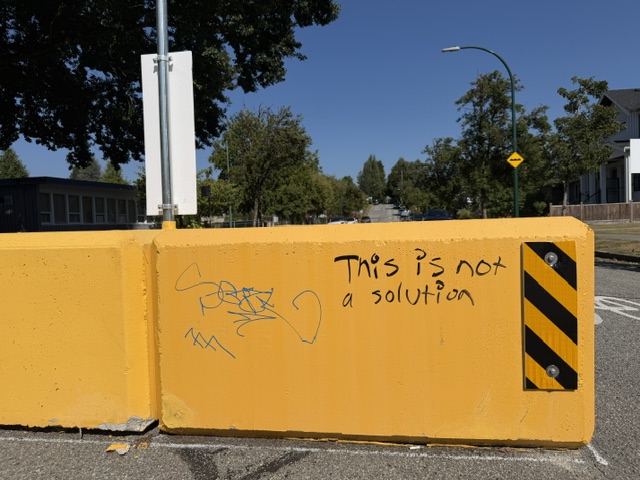
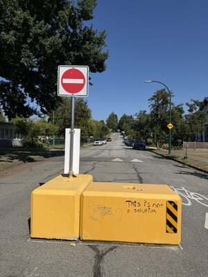
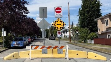
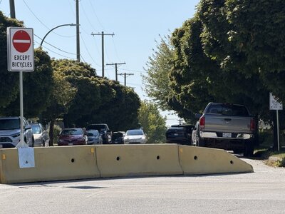
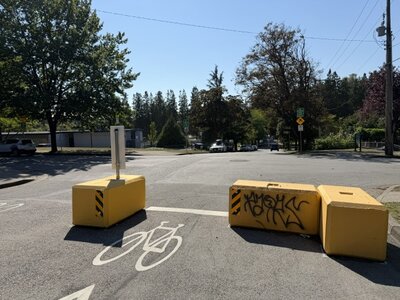
Diverters — barriers that physically prevent certain movements, forcing traffic to turn where it once continued straight.
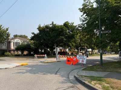
Full closures — a street blocked entirely to through traffic.
Curb extensions — the sidewalk pushed out at corners, shortening the crossing distance for people on foot.
Flexible delineators and bollards — the posts that narrow a lane or protect a cycling space.
Each of these does something specific. Used carefully, in the right place, they work. The question in East Vancouver is not whether any single device is reasonable. It is what happens when many of them are installed across a connected area at once.
A speed hump on one block is a modest thing. A diverter here, a circle there, a closure two streets over, and the picture changes. Traffic does not disappear when a route closes. It goes somewhere else.
That somewhere else is often the next street. Or the back lane. Or a route past a school.
This is the part residents notice first and reports discuss least. When the City measures a traffic-calming project, it typically measures the treated street — and the treated street usually does get quieter. What is harder to find is the measurement of where the traffic went.
It is easy to experience street changes as something that simply happens, like weather. They are not. Every barrier, closure and diverter is the result of a decision by elected officials, made in public, recorded in a staff report, and voted on at a council meeting.
That matters for two reasons.
First, decisions made by councils can be reviewed by councils. Infrastructure that was installed can be modified or removed. Road configuration is a policy choice, not a permanent fact.
Second, decisions made in public can be examined in public. Council agendas, staff reports and traffic data are published. We read them, and we will show our neighbours where to look.
Remove The Barriers is not opposed to safer streets. We are residents who want the decisions about our streets made with us rather than around us.
Specifically:
None of that requires anyone to agree about cycling, or cars, or what a street is for. It requires the City to show its work.
Over the coming weeks we will look at what the City's own documents say about emergency vehicle access, what happened when residents raised concerns on East Pender Street two decades ago, and where the traffic goes when a street closes.
If you live in the area and have something to add — a route that changed, a count you have taken, a reply you received from the City — we want to hear it.